
From the door to the coast
Bush, river and coast
The walking starts at the door, on a track down through the bush to the river. Beyond the property, these are the walks we send guests on: a loop round the old cement works across the road, kauri and a waterfall a few minutes' drive away, farm and coast at Scandrett, and a day on the coast at Tāwharanui.
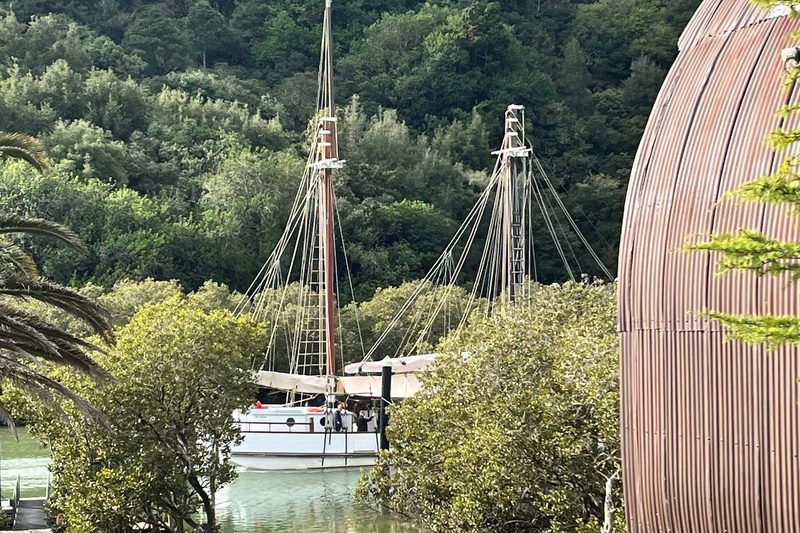
On the property
A private track winds down from the house through native bush, past kauri, tōtara and rimu, to the banks of the Mahurangi River, and a riverside trail runs along the boundary. Listen for kākā, tūī and kererū on the way.
The river is tidal and the banks are unfenced: keep to the track, and keep children close.
From the doorPrivate
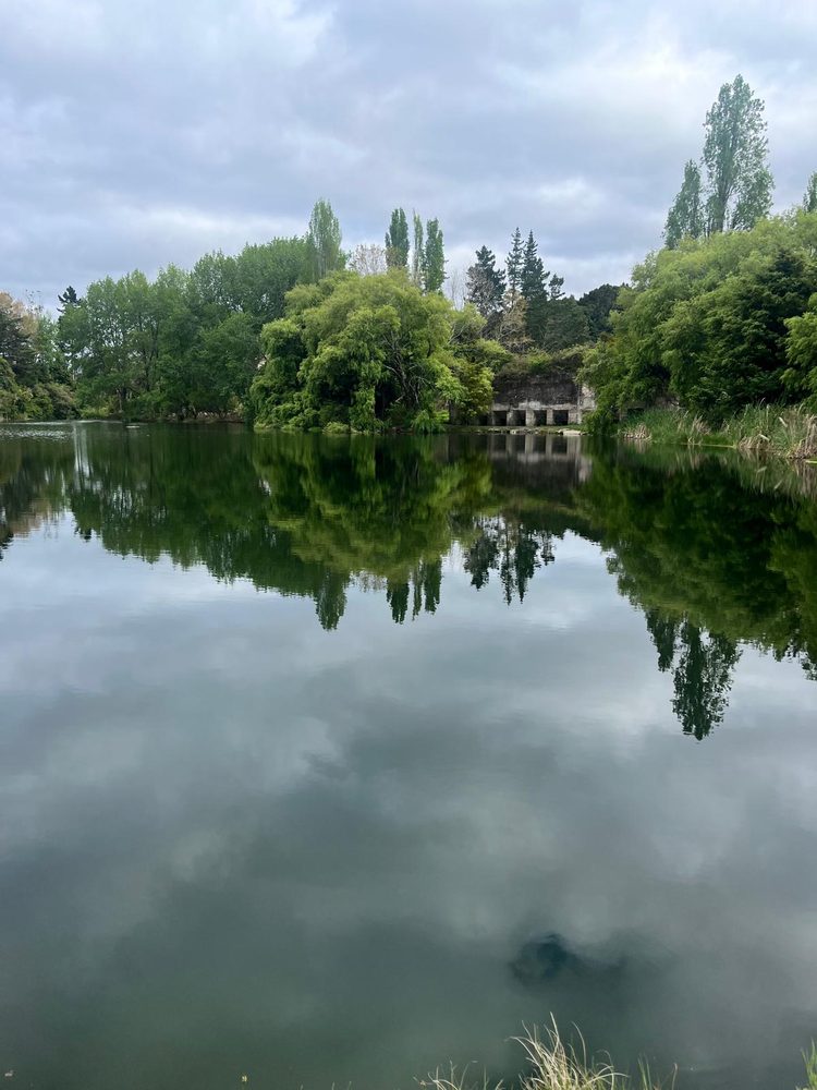
Just across the road
An easy loop of boardwalk, gravel and dirt track around the ruins of the oldest cement works in New Zealand. In summer the flooded quarry is the locals' favourite swimming hole, and a good spot for a picnic.
Wilson Road1.5–2.5 km30–45 minMuddy in winter
Birdlife on the property Tūī, kererū, kākā, ruru, pūkeko and ten more, with photos.
See the birds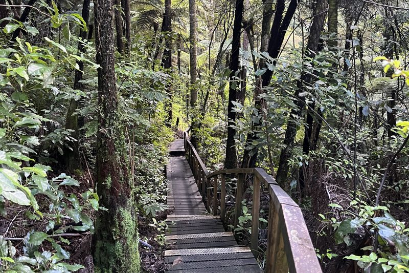
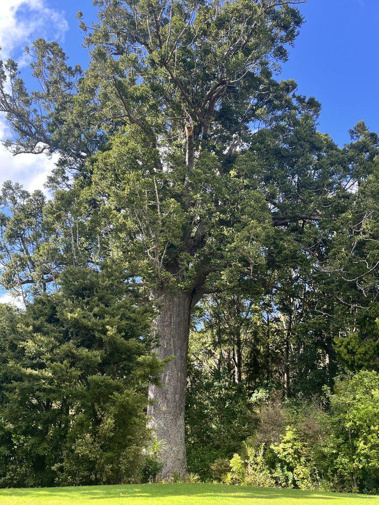
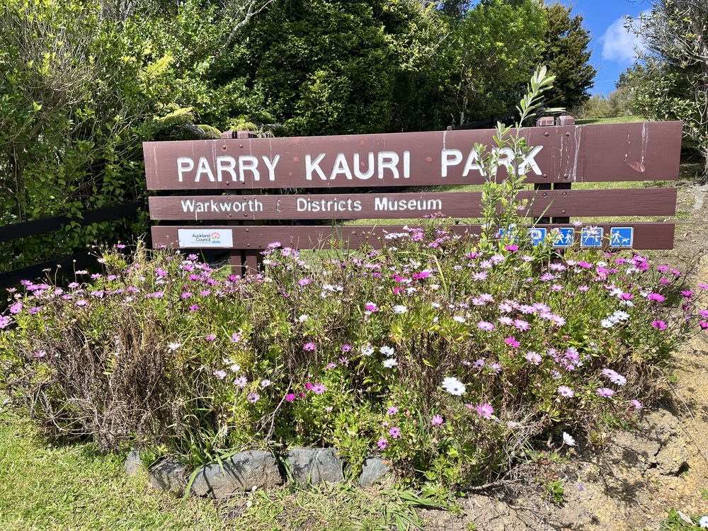
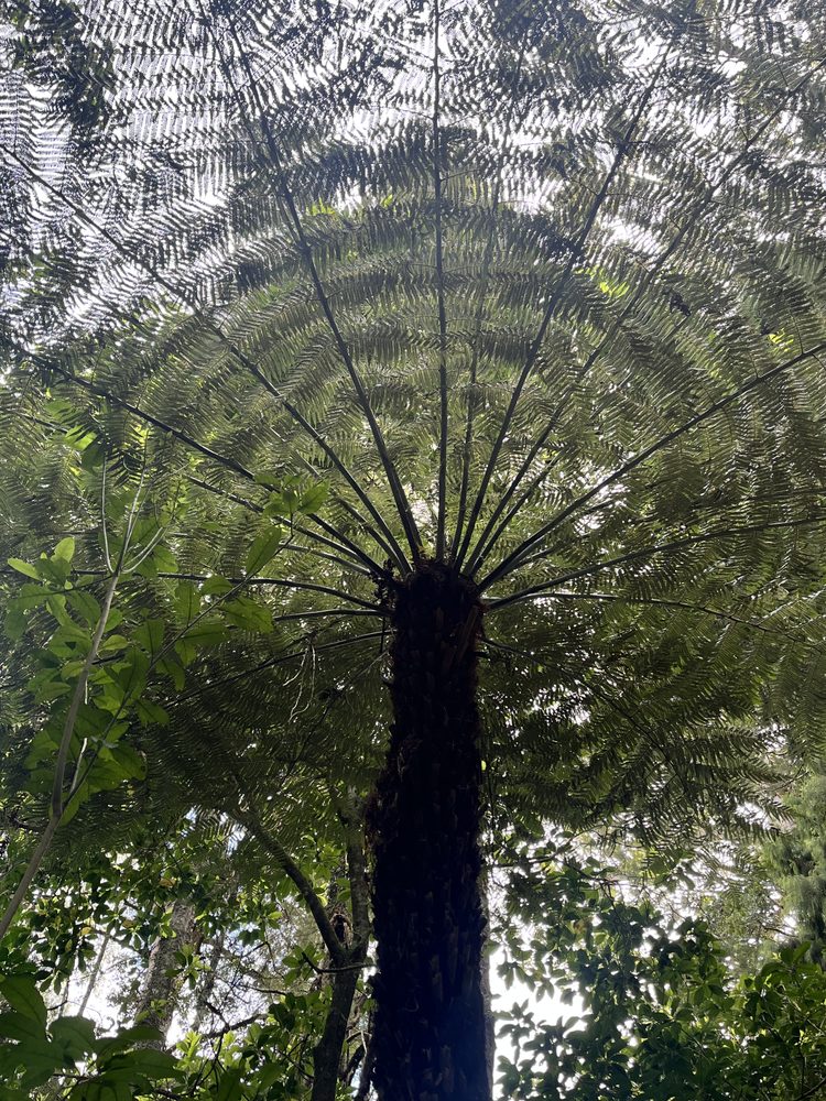
Not to be missed
Home to two of the tallest kauri on the east coast. Peaceful loop walks wind through ancient bush, with signs to help you name the trees. Easy to get to and easy going, so good for families. The Warkworth Museum is in the park too.
32 Tudor Collins Drive3 min driveDaily 10 am–3 pm
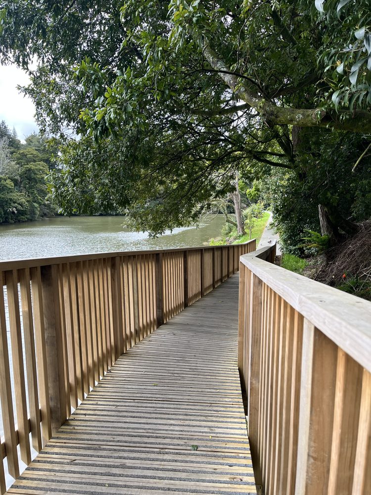
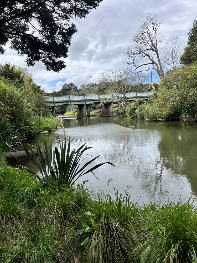
Along the river in town
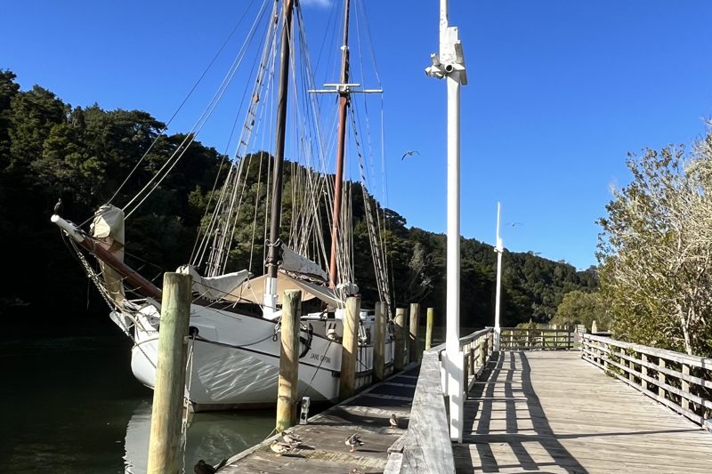
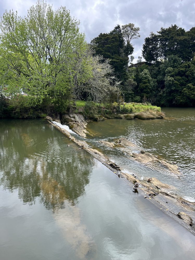
The riverside walk through Warkworth. It follows the Mahurangi south from the historic Elizabeth Street bridge by The Bridgehouse and passes under State Highway 1, with plenty of seats along the way. Past Lucy Moore Park it carries on through bush, by the mossy 19th-century lime kilns, to the Showgrounds. At its best in spring and summer, with the longer days.
Parking at 14A Pound Street6 min drive
Birds and bush
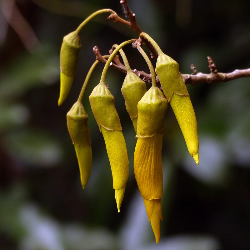
A long, narrow reserve of native bush on the edge of town, with several walking tracks and a bridge over the Mahurangi River. Listen for tūī, pīwakawaka (fantail), kererū, riroriro (grey warbler) and tauhou (silvereye).
1 Matakana Road6 min driveSeveral short tracks
DOC's Waterfall Track
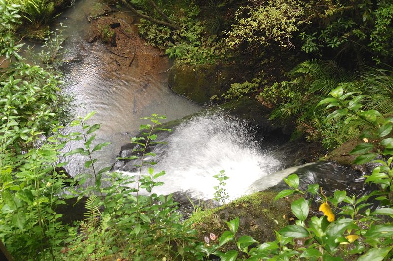
A 10-metre waterfall tucked into native bush. DOC's Waterfall Track drops from the car park down to the Pōhuehue Stream, and a side track leads to the falls and a lookout. The walk itself is the highlight: the lookout sees the falls from above, so they are at their best after rain.
For a longer walk, carry on round DOC's Beverley Price Loop Track instead of coming back the same way.
Old State Highway 1, just north of the Pōhuehue viaductAbout 600 m return10–15 min to the lookoutSome steps and uneven ground
Beautiful and remote
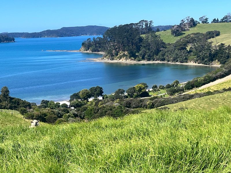
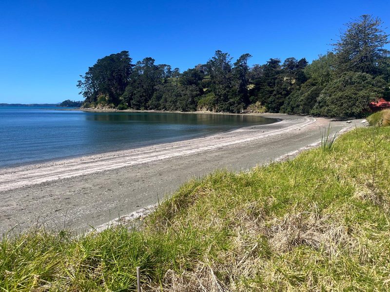
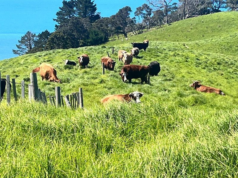
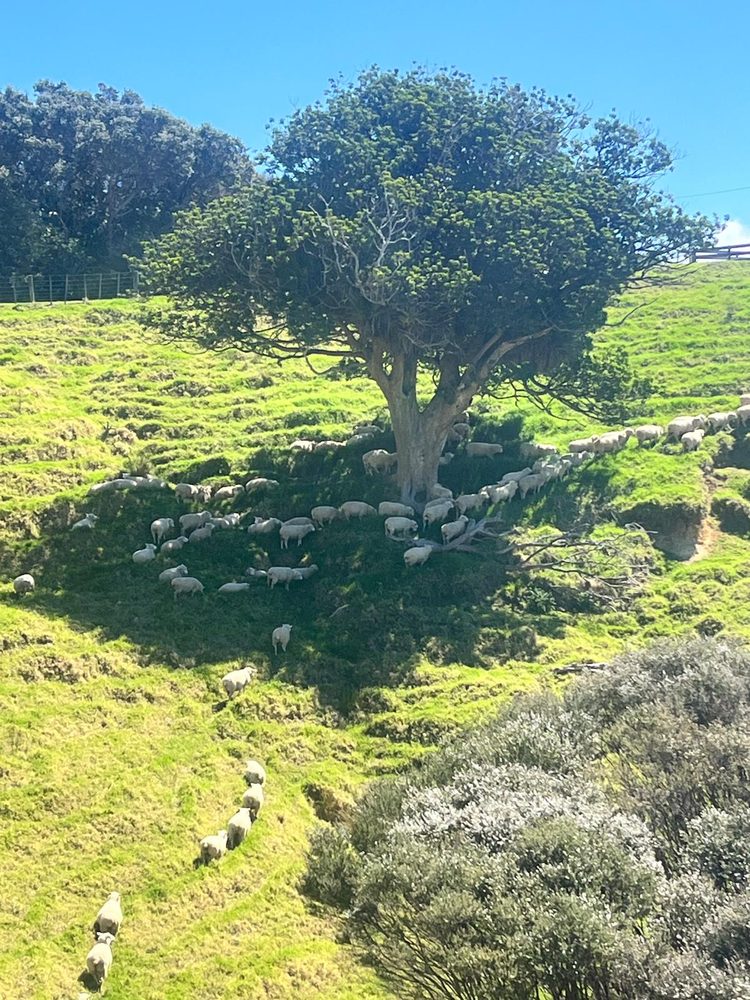
On the north-eastern tip of the Mahurangi Peninsula, a working farm running down to the sea, with glorious views over the harbour. The tracks follow the fence lines through paddocks where sheep and cattle graze, past regenerating coastal forest, a lovely beach and the historic Scandrett homestead and farm buildings. New Zealand dotterels and oystercatchers live along the shore, and the dotterels nest in the sand, so give them room.
114 Scandrett Road, Mahurangi EastWalks of about an hourPark map
Two of the tracks
Before you go. Scandrett Road turns off about 3 km past Algies Bay; cross the cattle stop and follow 1.1 km of gravel to the car park by the bay. There are toilets beside the car park, but nothing to eat or drink in the park, so take lunch. The water here is a High Protection Area, so no fishing or gathering seafood. It is a working farm: no dogs, and leave gates as you find them.
Highly recommended
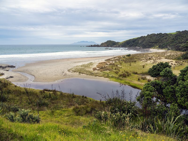
A coastal open sanctuary of white-sand beaches, native bush, wetlands and working farmland, with tracks from half an hour to three hours. Kiwi and ruru live here: join an evening tour, or stay till dusk, when the kiwi come out on their own.
1181 Takatu RoadTracks 30 min–3 hours
Three of the tracks
Before you go. Pick up a trail map at the Anchor Bay hut. No food is sold in the park, so take lunch; there is drinking water at Anchor Bay and the Lagoon car park. The vehicle gate opens from 6 am to 9 pm in daylight saving and 6 am to 7 pm in winter, and lets cars out at any time. Looking for kiwi after dark: a red light only, no flash, and keep to the track.
If you want a walk to suit the weather, the tide or your legs, just ask us. For beaches, food, wine and everything else nearby, see Welcome to Warkworth.
Mahurangi River Retreat
Photo credits: Pōhuehue Waterfall by itravelNZ, CC BY 2.0, via Wikimedia Commons, resized. Kōwhai flowers by Bernard Spragg, CC0, via Wikimedia Commons.